
From the snow-covered Himalayas to the tropical shores of the Indian Ocean, India is a country where geography changes dramatically within a few hundred kilometers. Mountains, plains, plateaus, deserts, forests, rivers, islands and long coastlines come together to create one of the world's most diverse geographical landscapes.

The Himalayas: India's Majestic Northern Frontier
The Himalayas form India's northern frontier and contain some of the highest peaks on Earth. Their enormous mountain ranges, snowfields, glaciers and valleys create one of the most dramatic geographical environments on the planet.
The Himalayan system is also critically important to India's climate and water resources. Snow and glaciers, together with rainfall, contribute to major river systems that flow across the Indian subcontinent.
The Ganga, Yamuna and Brahmaputra are among the major rivers associated with the Himalayan region. These rivers eventually support enormous areas of plains, wetlands, agriculture and ecosystems farther south.
The Indo-Gangetic Plains: A Vast River Landscape
South of the Himalayas lies the vast Indo-Gangetic plain. This enormous geographical region has been built over long periods by sediments deposited by major river systems.
The landscape is comparatively flat and contains some of India's most fertile soils. Rivers and their tributaries have continually shaped the land, creating an extensive network of floodplains and fertile agricultural areas.
The physical characteristics of the plains have also encouraged dense human settlement. The relationship between rivers, soil, rainfall and agriculture makes the Indo-Gangetic region one of the most geographically significant areas of India.
The Deccan Plateau: An Ancient Geological Landscape
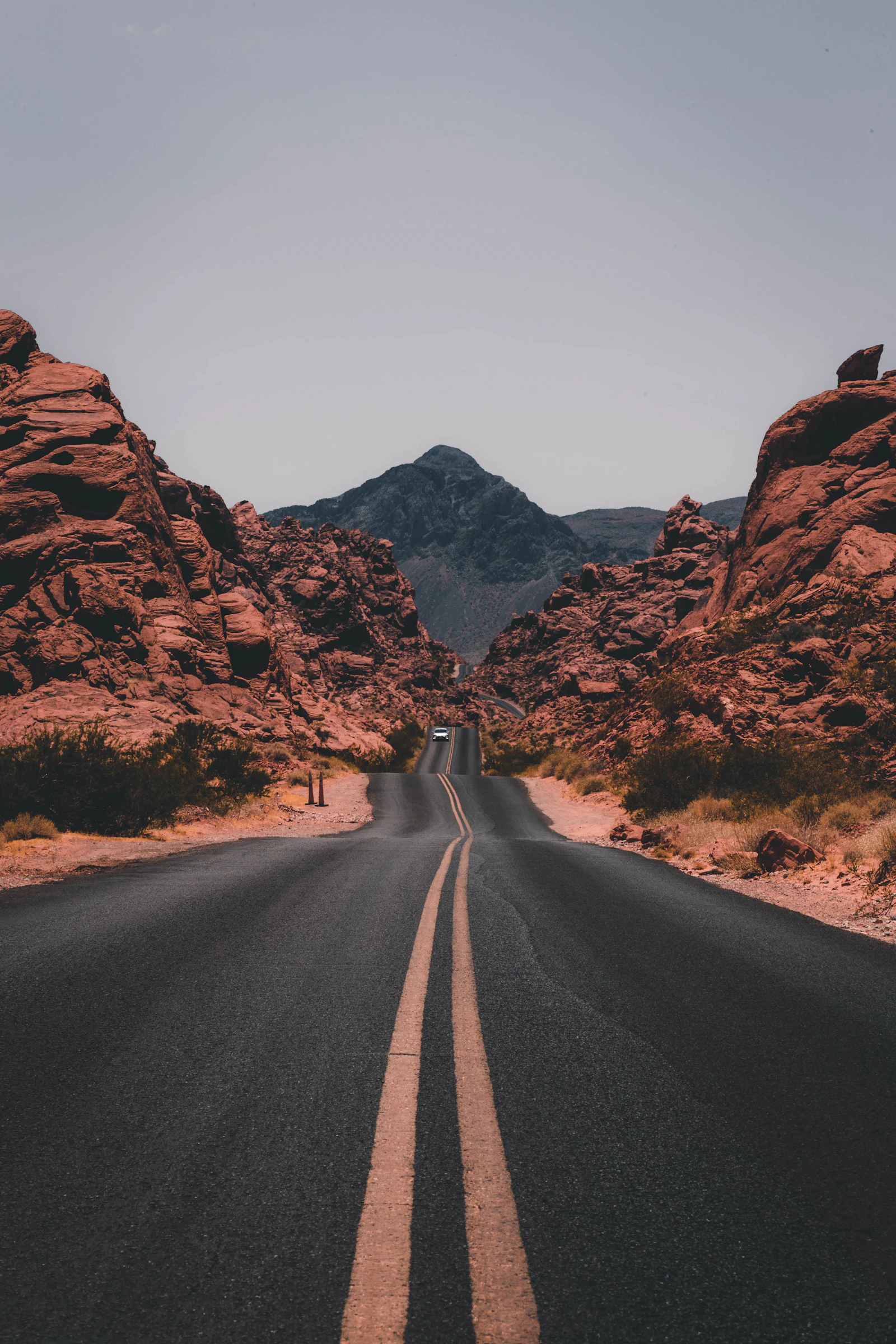
Moving farther south, the landscape rises into the Deccan Plateau. Covering a large part of peninsular India, this elevated region has been shaped by ancient geological processes over immense periods of time.
The Deccan landscape includes elevated plains, rocky formations, valleys, hills and extensive areas of volcanic rock. Its geological history has contributed to the formation of distinctive soils and landforms.
One of the best-known characteristics of the region is its black soil, particularly suitable for cotton cultivation. The relationship between geology, soil and vegetation demonstrates how physical geography can influence land use.

The Western and Eastern Ghats
India's peninsular region is bordered by two important mountain systems: the Western Ghats and the Eastern Ghats.
Although both are part of India's broader physical geography, their geological structure, continuity and relationship with surrounding landscapes differ considerably.
The Western Ghats
The Western Ghats run roughly parallel to India's western coast. They create a major geographical barrier and have a strong influence on rainfall, particularly during the southwest monsoon.
Their varied elevation and climate support numerous forests, rivers and ecosystems. The mountains also contribute to the formation of watersheds from which several important rivers originate.
The Eastern Ghats
The Eastern Ghats extend along parts of India's eastern peninsula. Unlike the Western Ghats, they are more discontinuous, with major rivers cutting through sections of the range on their journey toward the Bay of Bengal.
Together, the Western and Eastern Ghats demonstrate how mountain systems can influence rainfall, rivers, forests and the geographical character of surrounding regions.
The Thar Desert: India's Arid Landscape
India's geographical diversity also includes arid landscapes. The Thar Desert, located primarily in the western part of the country, presents a dramatic contrast to the humid forests and fertile plains found elsewhere.
Its sandy terrain, limited rainfall, sparse vegetation and extreme temperature variations create a distinct desert environment.
The Thar demonstrates the remarkable climatic range found within India. Within the same country, landscapes can shift from permanently snow-covered mountain environments to some of the driest regions of the subcontinent.
Forests: India's Natural Green Zones
Forests occur across many of India's geographical regions. Their character changes according to elevation, rainfall, temperature and soil.
Himalayan forests, tropical forests, dry deciduous forests and other vegetation zones occupy different parts of the country.
This diversity is directly connected to India's varied physical geography. Changes in altitude and climate create different habitats and ecosystems across relatively short distances.

India's Long Coastline
The Indian peninsula extends into the Indian Ocean and is surrounded by the Arabian Sea on the west and the Bay of Bengal on the east.
India's coastline contains many different physical environments, including sandy beaches, rocky stretches, coastal plains, estuaries, lagoons, wetlands and river deltas.
The western and eastern coastal regions are not identical. Their landforms, rainfall patterns, river systems and relationship with nearby mountain ranges contribute to different geographical characteristics.

The Islands of India
India's geography continues beyond the mainland. The Andaman and Nicobar Islands are located in the Bay of Bengal, while Lakshadweep lies in the Arabian Sea.
These island groups add another dimension to India's physical geography. Their tropical environments, marine ecosystems, coral formations and distinctive island landscapes differ significantly from the mountains, plains and plateaus of mainland India.
The islands demonstrate that India's geographical identity is not restricted to its mainland. The surrounding seas and island ecosystems form an important part of the country's natural landscape.
India's Geography Is a Story of Extreme Contrast
Perhaps the most fascinating fact about India is the extraordinary range of landscapes found within its borders.
A geographical journey across India can encounter snow-covered mountains, broad river plains, high plateaus, dry deserts, dense forests, wetlands, coastal environments and tropical islands.
Few countries offer such a remarkable combination of physical environments within a single geographical boundary.
Major Geographical Features of India
- Himalayan mountain ranges
- Indo-Gangetic plains
- Deccan Plateau
- Thar Desert
- Western Ghats
- Eastern Ghats
- Himalayan and tropical forests
- Arabian Sea coastline
- Bay of Bengal coastline
- River valleys and deltas
- Andaman and Nicobar Islands
- Lakshadweep Islands
- Wetlands and diverse ecosystems
How Geography Shapes India
India's geography is not merely a collection of beautiful landscapes. It has played a fundamental role in shaping the country's climate, agriculture, settlement patterns and natural ecosystems.
Mountains influence atmospheric circulation and rainfall. Rivers provide water and deposit fertile sediments. Plateaus create distinctive geological and soil conditions. Forests support biodiversity, while coastlines and islands create unique marine environments.
Geography therefore acts as a connecting thread between India's natural environment and the way its regions have developed over time.
The Indian Monsoon and Physical Geography
India's geography is closely connected with the seasonal monsoon. Mountain systems, elevation, distance from the sea and the shape of the peninsula all influence rainfall patterns across the country.
The Himalayas and Western Ghats are particularly important geographical features in understanding India's rainfall distribution.
These variations in rainfall help explain why some parts of India contain lush forests while others contain dry grasslands and desert environments.
A Geographic Journey Across One Extraordinary Country
India's physical geography is a remarkable combination of ancient geology, powerful rivers, changing climates, mountain systems and surrounding seas.
From the Himalayas in the north to the Deccan Plateau in the south, from the Thar Desert in the west to the river deltas of the east, India's landscape is constantly changing.
The country's islands and long coastlines extend this geographical story even farther into the Indian Ocean.
Understanding India's geography means understanding the forces that have shaped its land, water, climate and ecosystems. It reveals why India is one of the most geographically diverse countries in the world.
One country. Many landscapes. One extraordinary geography.